"Hiking Viking Rock" and Blue Pools Arch
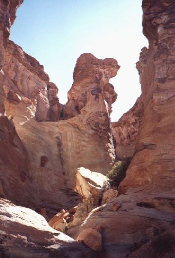
At Mile 4 on Hwy 89, just north of the Arizona/Utah stateline, you will find a cliff on the left side of the road which form the eastern end of a small mesa. A dirt road with an unlocked gate goes into the desert south of the mesa. Take a hike along the the cliffside and explore the "coves" along the way. At the bottom of the 3rd cove you will find Blue Pools Arch. The next cove to the west (second last from the western end) is the most interesting one with spectacular rock formations and several high waterfalls. The adjacent picture is taken from the northeastern corner of this cove. Can you see the face in the rock? Some say it's the face of the Hiking Viking. You may continue around the end of the mesa and walk out on the northern side. On this side you can climb to the top of the mesa where you can walk out on the Blue Pools Arch. Somebody has built a cairn of rocks on the arch. On your way out on the north side you can visit two large rock columns and explore the deep gullies around them. Instead of returning to the highway on the north side it is possible to climb back to the south side via a notch in the mesa in the first cove close to the eastern end.
"Hiking Viking Rock"
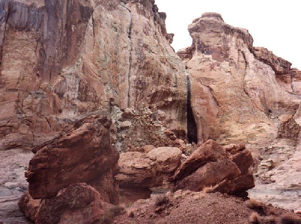
In "Hiking Viking Cove"
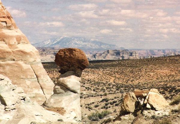
Snow-covered Navajo Mountain in the Background
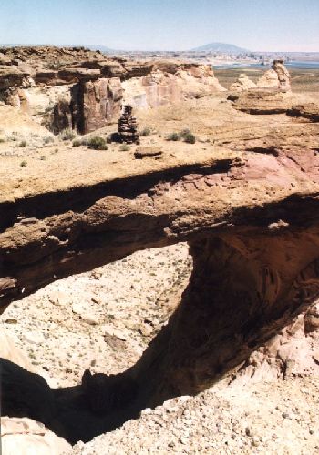
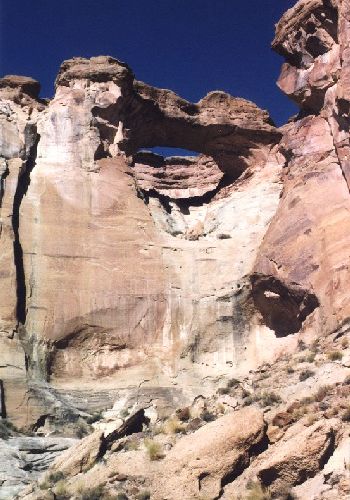
Blue Pools Arch, seen from the top of the mesa and seen from below.
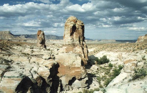
Rock Columns near "Blue Pools Mesa"
Click here to return to the Hiking Viking Home Page